On several occasions each year I uncover my mammoth chrome mountain bike and go for a ride. My destination is generally the Howard Beach – JFK subway station in Queens. After mentioning this to people I’m often asked for details. I think that my mention of such a trip conjures up images of me biking through heavy traffic for dozens of miles. But actually, it’s a very serene ride. Here’s how it’s done:
The first thing you’ll want to do is check out the latest version of the NYC Bike Map. Besides a giant PDF, there is also a route finder feature on the site. New York City has added hundreds of miles of bike lanes over the last couple years and they fall into three categories:
- Bike route – Simple markings on a normal driving lane. These are generally used when adding a full lane would take up too much space. They might put drivers into the mindset that they might encounter bicyclists, and they can help you get back to the nearest full bike lane, but they don’t offer much more than that.
- Bike lane – A designated lane that motor vehicle drivers are not supposed to drive or park on. This is pretty much ignored, particularly for parking. However, riding in one of these does give you an extra feeling of safety. Some even feature buffer zones between the bike and driving lanes.
- Protected bike lane (aka Greenway) – A bike lane that’s physically separated from motor vehicle traffic. Often this is done with parked cars or by allowing bikes on extra wide sidewalks.
The more you stick to categories two and (particularly) three, the more enjoyable your ride will be.
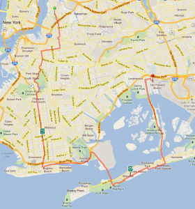
I’m up in Greenpoint, Brooklyn, close to McCarren Park. A couple of blocks over is Leonard Avenue, which has a bike lane. After Broadway, where Leonard ends, there is some signage and pavement markings to direct me over to Tompkins Avenue, which I follow to Dekalb Avenue, which has nice bike lane with buffer area.
Due to the street grid in this part of Brooklyn, I actually go quite a bit out of my way to use these bike lanes. Similar to the G-Train it’s a southeast route that shifts to a southwest route to essentially get to a point south of where I started.
Dekalb Avenue is easy to ride. It’s rather flat and the traffic isn’t that noticeable. I continue on Dekalb until Vanderbilt Avenue, where I take a left and start heading south. This section of Vanderbilt is only one of those “bike routes” (#1 in the list above), so it’s not as nice to ride on, but this is a short stretch. After Fulton Street a bike lane develops and this takes you all the way up a gradual hill to Grand Army Plaza in front of Prospect Park. The bike lane takes you around the outer circle and guide you into the park. Note that it’s also possible to use a completely separated bike lane along Prospect Park West. But the park is a little bit more fun in my opinion.
Heading south in the park, the route is mostly downhill. This is generally the fastest portion of my trip. It’s easy to miss the exit to Machate Circle, which you’ll want to use to get over to Ocean Parkway.
The routing here can be a little confusing. You want to cross Prospect Park Southwest and then Ocean Parkway (so essentially diagonally across from where you exit the park). There you’re allowed to ride on the sidewalk. This section is already called Ocean Parkway, which is confusing, since it’s a little street. You’ll ride along a couple of blocks high above the Prospect Expressway until that ends and you’re on Ocean Parkway proper. You need to cross over Ocean Parkway using the Church Avenue intersection to get to the bike path (riding is only allowed on that side). The bike path doesn’t actually officially start until a couple yards south (where the railing begins).
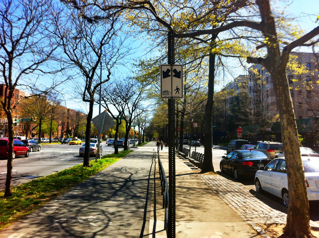
The Ocean Parkway ride is pretty nice. The railing separates pedestrians from bicycles, and most people obey this. The only annoyance is that you’re still crossing every intersection and will frequently need to stop. When you do have a green light (technically you’re using the pedestrian light) you still could encounter turning vehicles, however, for some reason, I seldomly see any vehicles doing this, except, notably, at Bay Parkway which diagonally starts out of Ocean Parkway at an intersection that does not have a traffic light.
Ocean Parkway will take you all the way down to Coney Island, where you can either stop at the Boardwalk or take a left on Neptune Avenue and continue eastward to Sheepshead Bay. This, once again, is just a bike route and the traffic can be a little annoying. But luckily this section is less than two miles. You pass a fishing marina and the southern end of Bedford Avenue, the longest street in Brooklyn. Right before you get to the Belt Parkway, there is a deli on the opposite side of the street. I have recent begun to use this as it’s the last chance to get some Gatorade or water before your journey outside of civilization.
The entrance to the Belt Parkway Greenway is a little hidden. You want to make to not head up the onramp onto the Belt Parkway. Instead, you take a right on Brigham Street and then enter from there.
Now you’ve reached easy riding… Oh, well I did forget about the beach erosion. Shortly after you enter the greenway you’ll get to Plumb Beach, which is essentially a highway rest stop (with no facilities) that allows access to small beach (no swimming, too polluted). Shortly before this exit a small section of the beach and the greenway washed away around 2010, so you have to bike on the grass to the left of the path. This is only for maybe 200 feet and then you reach the parking lot and from there you can get back on the greenway.
From here you will quickly reach the Flatbush Avenue exit. Here is where you can take a detour via the Rockaways (and add about five miles to your trip) or continue on the Belt Parkway Greenway.
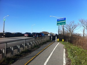
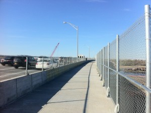
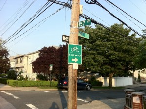
If you continue on the Belt Parkway Greenway, you will pass over a series of bridges. Some have tiny sidewalks that can only realistic be ridden in one direction at a time (so you’ll have to co-ordinate with fellow bicyclists). The newer ones, however, have full width bicycle and pedestrian accommodations. Eventually you’ll reach Queens and can then take a right on 84th Street (the end of the greenway). At the next intersection you take a left and then follow the bike bath and signs to the Howard Beach – JFK subway station.
The detour to the Rockaways is a little more scenic and I recommend taking it if you have time. You cross the Marine Parkway Bridge and ride through Jacob Riis Beach (bicycling is always allowed on that Boardwalk, presumably since it doesn’t get much use).
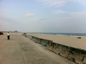
At the end of Jacob Riis Beach you take Rockaway Beach Boulevard for 33 blocks. This is a quiet residential artery street with very generous bike paths. Since you’re on the primary road and there is very little cross traffic and there are very little traffic lights, this section is very enjoyable. At Beach 116th Street, the main business street in Rockaway Park, I generally take a right and head down to the boardwalk. This is a city boardwalk and it doesn’t allow bike riding after 10am May – September, so during this time it’s advisable to continue on Rockaway Beach Boulevard until Beach 108th Street and then take a right to the Shore Front Parkway, which parallels the boardwalk and has very generous bike lanes. A fun fact is that this was built to be part of an intended actual highway, which luckily never happened.
At Beach 94th Street you can take a left and head across the peninsula to the Cross Bay Bridge which will take you over to a nature preserve. For more than three miles this bike path passes through nothingness! It can actually get kind of boring.
You eventually cross the Joseph P. Addabbo Memorial Bridge and return to civilization, where you’re actually faced with a mile or so of sharing the road with traffic. There aren’t even bike route markings. Luckily the boulevard is very wide here and you can use the parking lane to avoid much interaction with motorists. At 157th Avenue, a right turn will guide you on your way to the Howard Beach – JFK station.
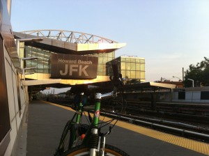
The Howard Beach – JFK station is a modern station that’s ADA (and bike) accessible. An elevator will take you to the fare control area, where, after turning the turnstile with your hand, the station agent will electronically open the service gate for you. You then take another elevator down to the platform. In the summer it is advisable to go to the front of the platform as the rear cars of the A-train tend to be packed with beachgoers returning from the beach.
And that’s how you get 25-30 miles of biking in Brooklyn (and Queens) without dealing with too much traffic.
Bike to JFK – May 1, 2011, a set on Flickr.

